Catalog Archive
Auction 139, Lot 671

"Magni Mogolis Imperium", Blaeu, (Family)

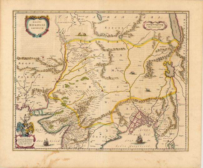
Subject: Southern Asia

Period: 1640 (circa)

Publication:

Color: Hand Color

Size:
20.5 x 16.5 inches
52.1 x 41.9 cm
Download High Resolution Image
(or just click on image to launch the Zoom viewer)

This map depicts the Empire of the Great Moghul in northern India, including the region from Iran to Burma (Myanmar). The important travel route from Kabul to Surat is the most prominent feature of the map. This was the route traveled by the embassy of the Englishman Sir Thomas Roe to the Moghul emperor Jahangir in 1615, as derived from a map published by William Baffin in London in 1618. This Dutch version of Baffin's map remained the standard Dutch view of the region throughout the seventeenth century. Finely decorated with strapwork title and scale of miles cartouches, a dedication with coat of arms, sailing ships, elephants and camels. French text on verso.

References:

Condition: B+

Original color with wide margins, light show-through of text on verso, and two small worm holes in top blank margin. There is some soiling in bottom blank margin, just entering map border.

Estimate: $350 - $450

Sold for: $250

Closed on 2/15/2012

Archived