Catalog Archive
Auction 139, Lot 419

"Buthe Insula Vulgo the Yle of Boot, Auct. Tim. Pont", Blaeu, Johannes
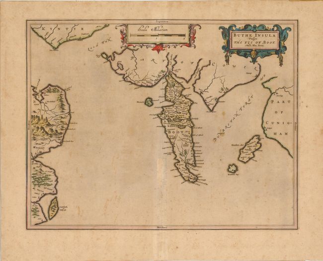
Subject: Scotland

Period: 1654 (circa)

Publication: Le Theatre du Monde ou Nouvel Atlas

Color: Hand Color

Size:
20 x 15 inches
50.8 x 38.1 cm
Download High Resolution Image
(or just click on image to launch the Zoom viewer)

The Isle of Bute is shown at center, which is a small island at the end of the Firth of Clyde and west of Glasgow. The map illustrates the dramatic topography of the island that is bisected by the Highland Boundary Fault with rugged mountains in the north and lowlands in the south. At left is the northeast coast of the Island of Arran, with the port city of Brodwick (Brodick) shown. French text on verso. The map was drawn by Timothy Pont, a famous surveyor of Scotland.

References:

Condition: B

Original color with some scattered foxing and toning, else good.

Estimate: $250 - $300

Sold for: $180

Closed on 2/15/2012

Archived