Catalog Archive
Auction 139, Lot 412

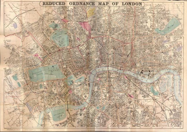
"Reduced Ordnance Map of London",
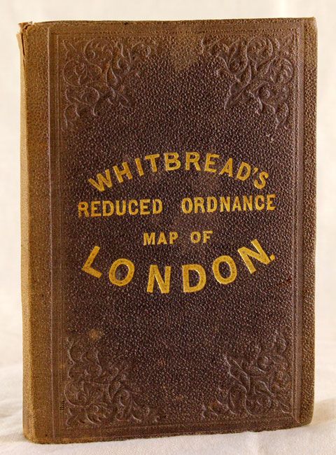
Subject: London, England

Period: 1870 (dated)

Publication:

Color: Hand Color

Size:
31 x 22 inches
78.7 x 55.9 cm
Download High Resolution Image
(or just click on image to launch the Zoom viewer)

This is a very detailed folding pocket map based on the famous Ordnance Survey maps. It is centered on London and shows the vicinity from Kilburn in the northwest to Parsons Green to the southwest, Hatcham to the southeast and Hackney in the northeast. The map contains a remarkable amount of detail including major streets, prominent buildings and features, adjoining towns and villages with connecting roads, railroads and stations. Folds into original brown boards and is accompanied by a 46 pp. index of streets, postal districts, cab fares and places of amusement. Published by J. Whitbread.

References:

Condition: B+

Folding and backed with linen as issued. There is some light even-age toning and a few tiny splits at fold intersections.

Estimate: $200 - $250

Sold for: $275

Closed on 2/15/2012

Archived