Catalog Archive
Auction 139, Lot 393

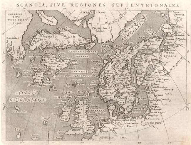
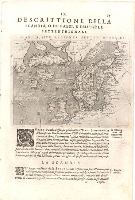
"Scandia, sive Regiones Septentrionales", Magini and Porro

Subject: Arctic and Scandinavia

Period: 1621 (circa)

Publication: Geografia Universale…

Color: Black & White

Size:
6.8 x 5 inches
17.3 x 12.7 cm
Download High Resolution Image
(or just click on image to launch the Zoom viewer)

This small map is based on Ortelius' Septentrionalum of 1570, which in turn was based on the mapping of Nicholas Zeno in 1558. The map shows two Greenlands, one just above the other, as well as the imaginary islands of Frisland and St. Brendain, along with many other small, phantom islands in the North Sea. The North Pole carries a note of Pigmei hic habitant, indicating that pygmies live there. The island of Drogeo shown off the coast of Estotilant is thought to represent Newfoundland. Beautifully engraved by Girolamo Porro. On a full sheet (7.7 x 11.7") of Italian text.

References: Burden #94.

Condition: B+

A crack in the copper plate is visible at bottom. There is light printer's ink residue and faint soiling, with a short tear in bottom blank margin that has been closed with archival materials.

Estimate: $275 - $350

Sold for: $170

Closed on 2/15/2012

Archived