Catalog Archive
Auction 139, Lot 392
"Doppel-Charte von Island…", Reinecke, Johann Matthais Christoph
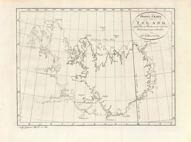
Subject: Iceland
Period: 1800 (circa)
Publication:
Color: Black & White
Size:
8.5 x 6.3 inches
21.6 x 16 cm
Download High Resolution Image
(or just click on image to launch the Zoom viewer)
(or just click on image to launch the Zoom viewer)