Catalog Archive
Auction 139, Lot 355

"Brasilia…", Blaeu, Johannes
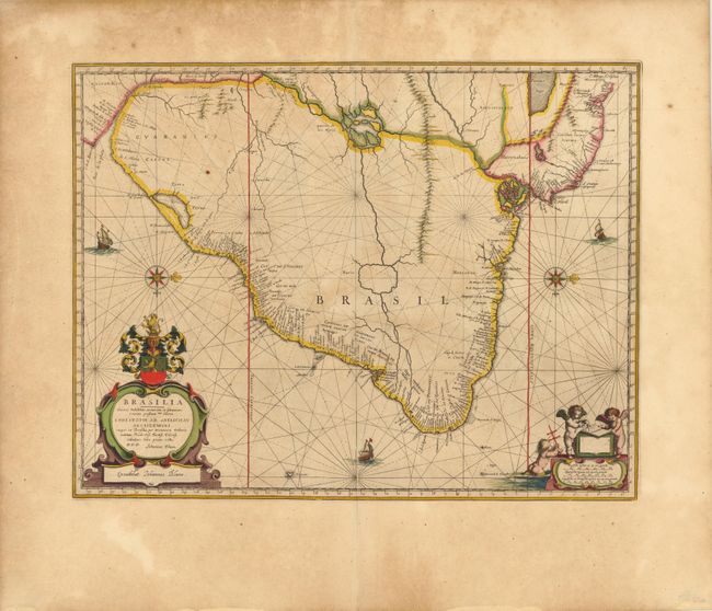
Subject: Brazil

Period: 1642 (circa)

Publication: Atlas Maior

Color: Hand Color

Size:
19.5 x 15.3 inches
49.5 x 38.9 cm
Download High Resolution Image
(or just click on image to launch the Zoom viewer)

This map is Blaeu's second map of eastern Brazil with detail confined to the coastlines and the map oriented with north to the right of the chart. The coastline is very detailed, while inland the cartography is highly conjectural and mostly empty, with the exception of the mythical Parime Lago in Guiana and Xarayes Lago in Brazil. The map reflects the short-lived Dutch influence in Brazil through the Dutch West-India Company. It is richly embellished with a title cartouche featuring the Dutch coat of arms, a distance scale cartouche with three putti, compass roses, galleons and rhumb lines. Latin text on verso.

References: Goss (Blaeu) #80; Van der Krogt (Atlas Maior), p. 398-401.

Condition: B+

Wide original margins with light toning, a short printer's crease along centerfold at bottom of map image, and a few small, insignificant spots.

Estimate: $900 - $1,100

Sold for: $650

Closed on 2/15/2012

Archived