Catalog Archive
Auction 139, Lot 349

"Carte de la Republique de Colombie", Vivien de Saint Martin, Louis

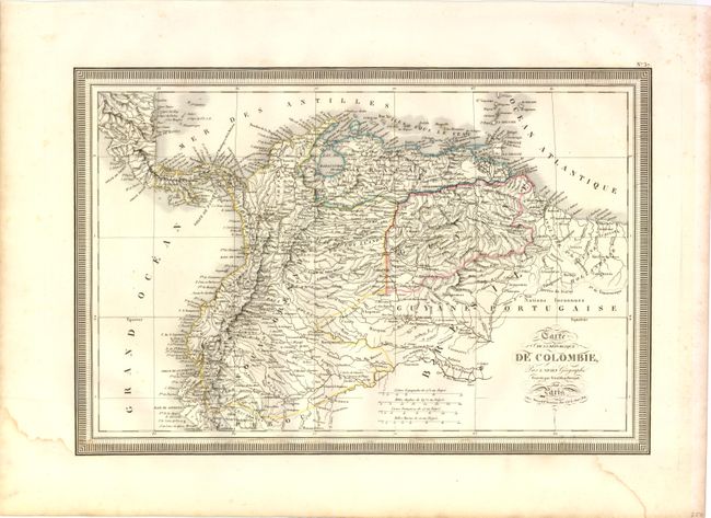
Subject: Northern South America

Period: 1826 (dated)

Publication:

Color: Hand Color

Size:
18.3 x 12.3 inches
46.5 x 31.2 cm
Download High Resolution Image
(or just click on image to launch the Zoom viewer)

This attractive map of northern South America delineates Colombia, Venezuela and Guiana. There is very good detail of the coastline along with rivers, lakes and many place names. The map is surrounded by a keyboard style bolder. Engraved by Giraldon-Bovinet.

References:

Condition: B+

There is a tiny hole along the eastern border of Colombia and some damp staining at bottom along the neatline.

Estimate: $150 - $200

Unsold

Closed on 2/15/2012

Archived