Catalog Archive
Auction 139, Lot 348

"Carta del Corso del Maragnone o Sia del Gran Fiume dell' Amazzoni", Rossi, Veremondo

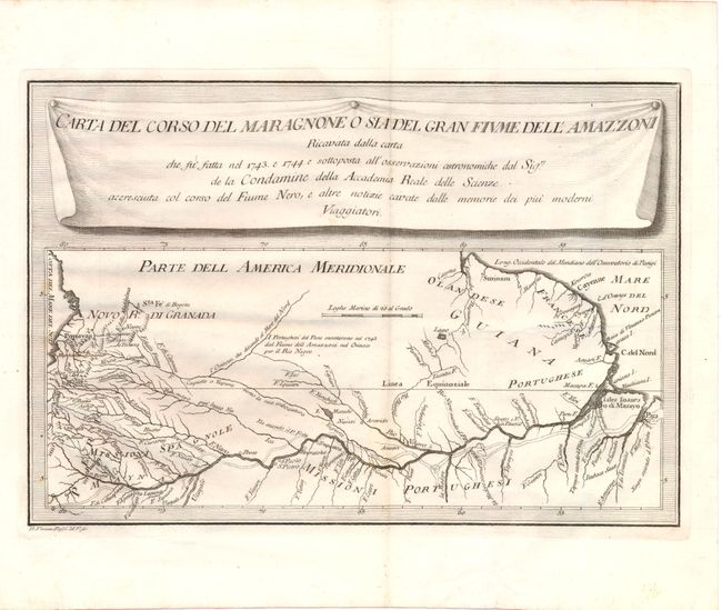
Subject: Northern South America

Period: 1763 (published)

Publication: Gazzettiere Americano

Color: Black & White

Size:
12.5 x 8.5 inches
31.8 x 21.6 cm
Download High Resolution Image
(or just click on image to launch the Zoom viewer)

This interesting map of the Amazon region is based on astronomical observations conducted by Charles-Marie de La Condamine, a French explorer, geographer, and mathematician. After traveling to Ecuador in 1735 to test Isaac Newton's hypothesis that the Earth was not a perfect sphere, La Condamine was unable to travel back to France directly due to insufficient funds. Instead, he traveled eastward down the Amazon River from 1743-44, and performed the first scientific exploration of the great river. This map depicts the Amazon River from its mouth in the Atlantic west to its tributaries in Colombia, Peru and Ecuador, with La Condamine's route depicted with dotted lines.

References:

Condition: A

Just a hint of toning along centerfold.

Estimate: $140 - $200

Sold for: $100

Closed on 2/15/2012

Archived