Catalog Archive
Auction 139, Lot 291

"Hispaniae Novae Nova Descriptio", Hondius, Jodocus
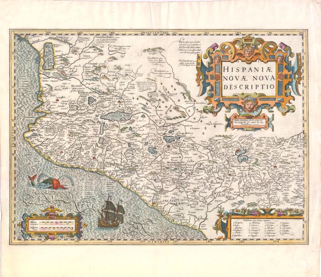
Subject: Mexico

Period: 1619 (circa)

Publication:

Color: Hand Color

Size:
19 x 13.5 inches
48.3 x 34.3 cm
Download High Resolution Image
(or just click on image to launch the Zoom viewer)

This splendid map illustrates the heart of the Spanish empire in the New World. The map is focused on the western part of Mexico from about Mazatlan to Acapulco (neither of which is named) and inland to include Lake Chapala and Mexico City, which is situated on a large lake. At upper left is a large inland sea filled with islands where the natives supposedly extracted salt. There are numerous notations, taken from Ortelius, that describe the native people including one that refers to cannibalism - Anthropophagi sunt, qui| his montibus habitant (They who live in these mountains are cannibal). Diamond-shaped symbols mark the locations of numerous silver and copper mines. The map is fully decorated with three elaborate, strapwork cartouches. A Spanish Galleon and a fanciful sea monster adorn the ocean. Jodocus Hondius prepared this map for inclusion in his editions of the Mercator-Hondius atlas. French text on verso.

References:

Condition: A

Nice impression with one faint spot below title cartouche. There are a couple of minute wormholes and short tears in blank margins that have been closed on verso with archival materials.

Estimate: $475 - $600

Unsold

Closed on 2/15/2012

Archived