Catalog Archive
Auction 139, Lot 277
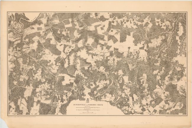
"Jetersville and Sailors Creek from Surveys under the Direction of Bvt. Brig. Gen. N. Michler, Maj. of Engineers…", U.S. War Department
Subject: Virginia, Civil War
Period: 1867 (dated)
Publication:
Color: Black & White
Size:
34 x 20 inches
86.4 x 50.8 cm
Download High Resolution Image
(or just click on image to launch the Zoom viewer)
(or just click on image to launch the Zoom viewer)