Catalog Archive
Auction 139, Lot 230

"Louisiana", Lucas, Fielding
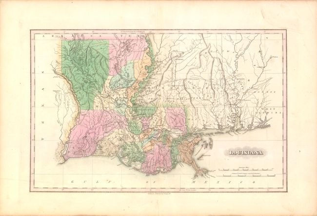
Subject: Louisiana

Period: 1823 (circa)

Publication: A General Atlas…

Color: Hand Color

Size:
17.3 x 11 inches
43.9 x 27.9 cm
Download High Resolution Image
(or just click on image to launch the Zoom viewer)

This map of Louisiana depicts the state just after the settlement of its western boundary with Mexico in 1819. The Adams-Onis Treaty, or Transcontinental Treaty, of 1819 was critical in defining the US-Mexico boundary. In the provisions of the treaty, the US ceded to Spain its claims to Texas, New Mexico and California in exchange for Spain's claims to east Florida and the Oregon Country north of the 42nd parallel (the present-day northern border of California). This map extends to show parts of Mississippi and Alabama and gives good detail of roads, rivers and the topography of the region, including the depiction of marshes along the coastline. Parish lines are current circa 1820, just prior to the formation of Terrebonne Parish from Lafourche in 1822.

References:

Condition: B+

Original color with wide margins and a few faint spots of soiling. Short centerfold separations in top and bottom blank margins that have been repaired on verso with Japanese tissue.

Estimate: $475 - $600

Sold for: $650

Closed on 2/15/2012

Archived