Catalog Archive
Auction 139, Lot 158

"Map of the Southern Part of New England Compiled for Prest Dwights Travels", Gillet, George

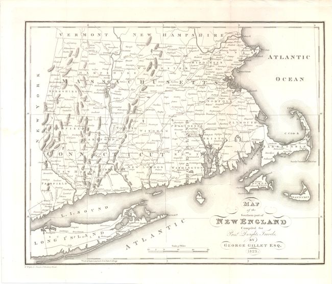
Subject: New England - United States

Period: 1823 (dated)

Publication: Dwight's Travels in New-England and New-York

Color: Black & White

Size:
13.5 x 11 inches
34.3 x 27.9 cm
Download High Resolution Image
(or just click on image to launch the Zoom viewer)

This rare map of Massachusetts, Connecticut and Rhode Island was published in the only American edition of Timothy Dwight's work, but was engraved in London by W. Wright. Timothy Dwight IV was a minister, theologian, educator, and author. The eighth president of Yale College, Dwight selected the college as the Prime Meridian for his maps, which is noted at lower left. The map depicts counties, roads, towns and topography, and includes Martha's Vineyard (Dukes), Nantucket, and the eastern portion of Long Island. Although county lines for Connecticut and Rhode Island are current for 1823, Massachusetts is current only to 1809, prior to Hampshire county being split into three counties with the additions of Franklin in 1811 and Hampden in 1812.

References:

Condition: A

A fine impression. Issued folding, now pressed with faint toning along a few folds. Several folds have been reinforced on verso with Japanese tissue.

Estimate: $140 - $180

Sold for: $100

Closed on 2/15/2012

Archived