Catalog Archive
Auction 139, Lot 146

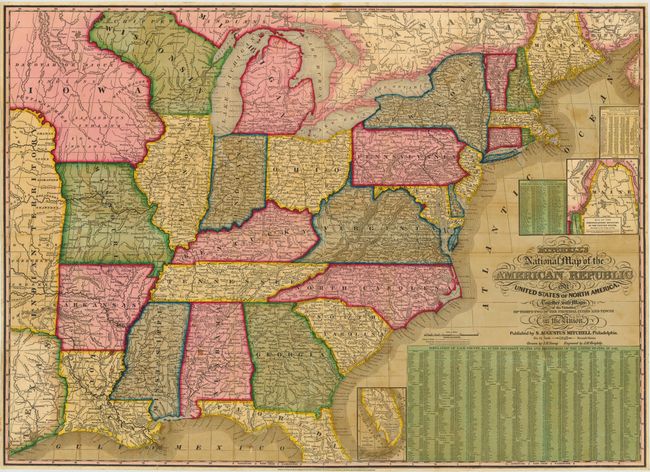
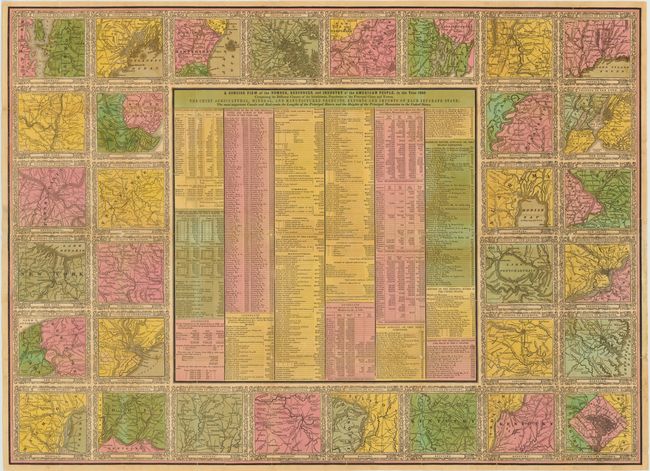
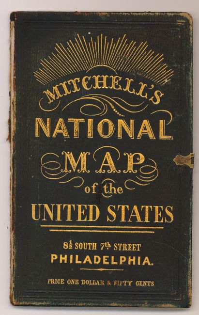
"[On 2 Sheets] Mitchell's National Map of the American Republic or United States of North America. Together with Maps of the Vicinities of Thirty-Two of the Principal Cities & Towns in the Union …", Mitchell, Samuel Augustus

Subject: Eastern United States

Period: 1843 (dated)

Publication:

Color: Hand Color

Size:
34 x 24.5 inches
86.4 x 62.2 cm
Download High Resolution Image
(or just click on image to launch the Zoom viewer)

This two-sheet map, drawn by J.H. Young and engraved by J.H. Brightly, is in the scarce pocket map form of a map that was typically issued as a wall map. It extends into the eastern part of the Independent Republic of Texas and the large Indian Territory. On this early edition Minnesota is not named, and west of Wisconsin is the huge Iowa Territory that is also labeled Dacotah or Sioux. A large inset within the map is a "Map of the North-Eastern Boundary of the United States according to the Treaty of 1842" that details the Webster-Ashburton Treaty, and another smaller inset "Map of the Southern Part of Florida" that shows no settlements of any kind south of Fort Jupiter. The map is very detailed with hundreds of place names, plus roads, villages, railroads, ports, etc. A table gives the 1840 population for 120 cities and another gives the states' population of Whites, Free Blacks and Slaves. The state of New Hampshire is listed with just one slave and 537 Free Blacks.

Included with the map is a second sheet with 32 different city views, each with its own decorative border. At the center of the sheet is "A Concise View of the Number, Resources, and Industry of the American People, in the Year 1840." which is not a part of the wall map. Folds into green tooled and gilt covers that include a sun-burst and large eagle on back and original brass closures.

References: Rumsey 2381; Ristow, p.310.

Condition: A

Vibrantly colored map with a few minor stains in the image. There are tiny splits and separations along the folds that have been professionally repaired on verso. The map is issued folding and is removed from the boards, which are present but have separated.

Estimate: $1,000 - $1,300

Sold for: $750

Closed on 2/15/2012

Archived