Catalog Archive
Auction 138, Lot 851

"Carte Particuliere de la Polynesie…", Brue, Adrien Hubert

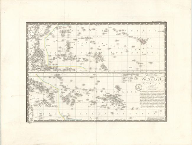
Subject: Pacific Islands

Period: 1827 (dated)

Publication:

Color: Hand Color

Size:
20.3 x 14.3 inches
51.6 x 36.3 cm
Download High Resolution Image
(or just click on image to launch the Zoom viewer)

These two detailed maps on one sheet give great detail of the islands of the Pacific Ocean. The top map depicts the Pacific Islands north of the equator, extending to include southwest China, Taiwan and part of southeast Asia. The Hawaiian Islands (Royaume des Iles Sandwich) are featured at right. The bottom map depicts the South Pacific Islands, including Fiji, the Solomon Islands, Tahiti and the French Polynesian islands, and even extends to include the Chilean islands of Sala-y-Gomez (I. Sola) and I. de Pascua and the northeastern tip of Australia. A lengthy note below the title explains the provenance of the cartography. Brue’s embossed imprint is to the left of the title.

References:

Condition: B+

Original color and wide margins on heavy paper with light offsetting and marginal soiling. There is a vertical tear into the top map at left that has been professionally repaired.

Estimate: $150 - $200

Unsold

Closed on 12/7/2011

Archived