Catalog Archive
Auction 138, Lot 850

"Chart of the New Discoveries East of New Holland and New Guinea", Morse, Jedidiah (Rev.)

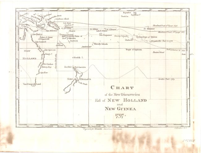
Subject: Australia, New Zealand, New Guinea

Period: 1797 (dated)

Publication: Morse's American Gazetteer

Color: Black & White

Size:
9.8 x 6.5 inches
24.9 x 16.5 cm
Download High Resolution Image
(or just click on image to launch the Zoom viewer)

This is a small map covering Australia, New Zealand and New Guinea. Easter Island appears at the far right of the map. While the map shows the discoveries made by Captain Cook, it does not show his exploration route. The tracks of other explorers from 1595 to 1769 are traced. Van Diemen's Land (now Tasmania) is shown attached to New Holland (Australia) which was thought to be attached to the mainland until Matthew Flinders and George Bass circumnavigated it in 1798-99. Engraved by Benjamin Callender, Jr.

References: Wheat & Brun #911.

Condition: B+

There is some staining in lower margin with the right margin reinforced.

Estimate: $100 - $130

Sold for: $70

Closed on 12/7/2011

Archived