Catalog Archive
Auction 138, Lot 740

"Nieuwe Kaart van Arabia", Tirion, Isaac
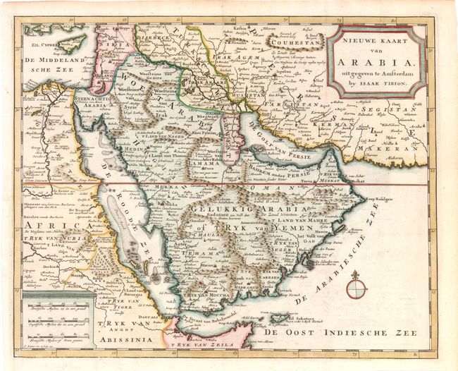
Subject: Arabia

Period: 1731 (circa)

Publication:

Color: Hand Color

Size:
14 x 11.5 inches
35.6 x 29.2 cm
Download High Resolution Image
(or just click on image to launch the Zoom viewer)

This handsome and detailed chart depicts the extent of Turkish power in the Arabian Peninsula, noting road and caravan routes. The map extends to include the eastern Mediterranean, Holy Land, Persia, Iraq, and parts of Nubia in Africa. The course of the Nile River is well shown as is Cyprus. Based on Delisle and De Fer's maps of the region, Tirion incorporated some new elements, including curious mountain ranges that appear to serve as boundary lines. Two monument-style cartouches contain the title at upper right and three distance scales opposite. A small compass rose rests in the Arabian Sea. Engraved by J. Keizer.

References: Tibbetts #250, plate 18.

Condition: A

Issued folding, now pressed.

Estimate: $220 - $300

Sold for: $275

Closed on 12/7/2011

Archived