Catalog Archive
Auction 138, Lot 564

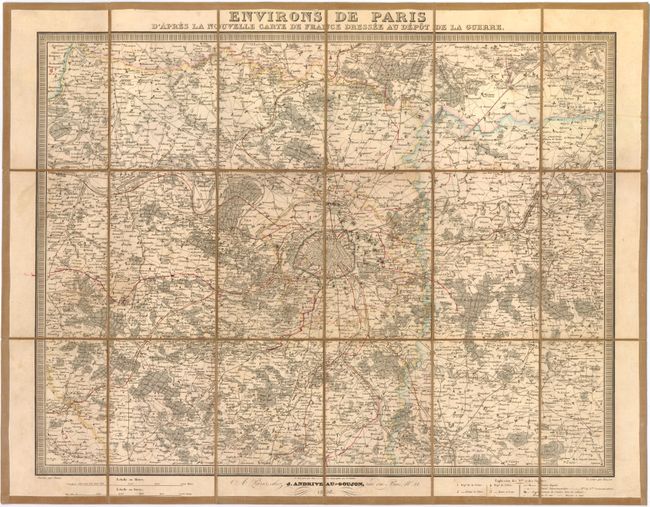
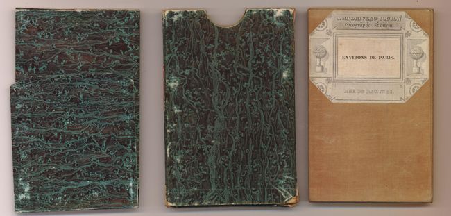
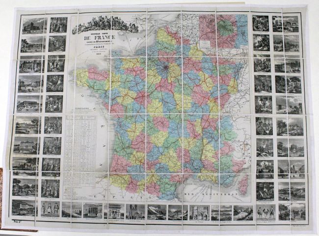
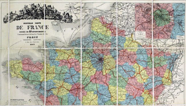
"[Lot of 2] Environs de Paris d'Apres la Nouvelle Carte de France Dressee au Depot de la Guerre [and] Nouvelle Carte de France Divisee en 89 Departements…",

Subject: France

Period: 1850-69 (dated)

Publication:

Color: Hand Color

Size:
See Description
Download High Resolution Image
(or just click on image to launch the Zoom viewer)

A. Environs de Paris d'Apres la Nouvelle Carte de France Dressee au Depot de la Guerre by Andriveau-Goujon, dated 1850, hand colored (20" x 16.8"). This is a detailed map of the vicinity of Paris that covers the area from Mantes in the west to Meaux and from Chambly in the north to Melun. There is fine detail of towns, villages, rivers and roads with the departments highlighted in outline color. Dissected and linen-backed, folding into the original two part green marbled-paper slipcase with publisher's paper label. Condition - there is some light soiling and a former owner's routes tracked in red ink. (B)

B. Nouvelle Carte de France Divisee en 89 Departements by Theodore Lefevre, dated 1869, hand colored (35" x 25"). This large, highly decorative map of France displays 89 hand colored departments and a detailed inset of Paris. Surrounding the map are 50 steel engravings that display important structures, battles, vignettes and wardrobes. Dissected and backed with linen and folds into beautiful marbled leather. Condition - a few minor spots primarily in the engravings surrounding the map, else fine. (A)

References:

Condition:

See descriptions.

Estimate: $150 - $200

Sold for: $110

Closed on 12/7/2011

Archived