Catalog Archive
Auction 138, Lot 304

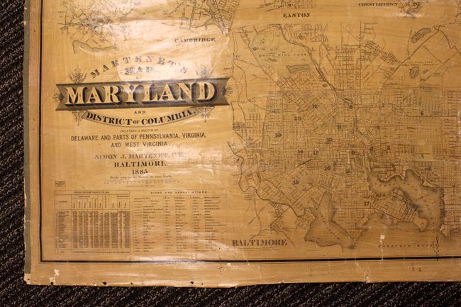
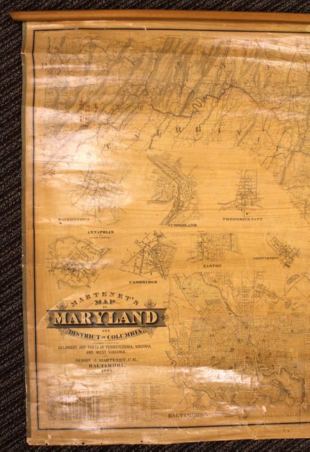
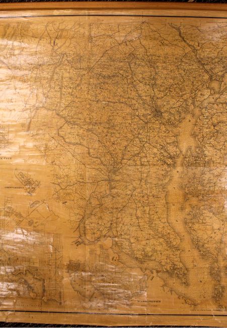
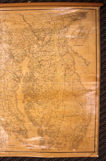
"Martenet's Map of Maryland and District of Columbia…", Martinet, Simon J.

Subject: Maryland, Washington DC

Period: 1885 (dated)

Publication:

Color: Black & White

Size:
71 x 44 inches
180.3 x 111.8 cm
Download High Resolution Image
(or just click on image to launch the Zoom viewer)

This large format wall map has exceptional detail of Maryland and Washington DC. There is a key at lower left that has 59 different symbols and abbreviations noting mills, factories, light houses, hotels, roads and railroads to name just a few. There are also 10 inset maps including Baltimore, Salisbury, Annapolis and Cumberland and a table at lower left displaying the county populations as of the 1880 census. There is also nice detail of the Chesapeake and Delaware Bays with hundreds of soundings marked. Portions of Virginia, West Virginia and Pennsylvania are also shown. Linen-backed and attached to roller at top.

References:

Condition: B+

There are a few minor stains in the image and some scattered cracking without image loss. Bottom roller is missing. Very good condition for this type of map.

Estimate: $550 - $700

Sold for: $400

Closed on 12/7/2011

Archived