Catalog Archive
Auction 138, Lot 187

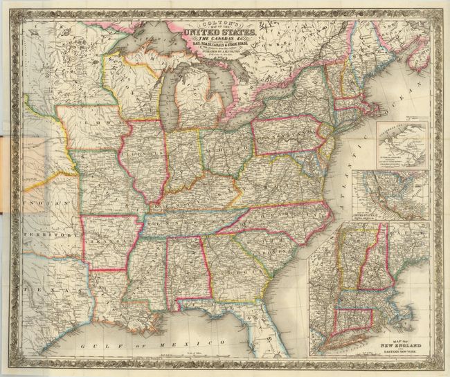
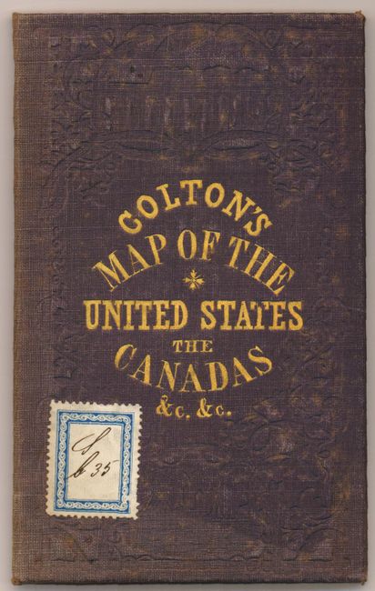
"Colton's Map of the United States, the Canadas &c. Showing the Rail Roads, Canals & Stage Roads…", Colton, Joseph Hutchins

Subject: Eastern United States

Period: 1851 (dated)

Publication:

Color: Hand Color

Size:
30.3 x 25.5 inches
77 x 64.8 cm
Download High Resolution Image
(or just click on image to launch the Zoom viewer)

This very large, folding map offers an exceedingly detailed view of the eastern United States up to the Great Plains. Printed on fine bank note paper, the map extends to show part of Texas, Indian Territory, and a large Minnesota. There is an unnamed region between Indian Territory and Minnesota that is filled with Indian place names. In the south, the map extends in Florida to only about half of Lake Okeechobee, or about 60 miles south of Tampa. The map is filled with place names, roads, rail roads, rivers and much more. A large inset (8.5 x 19.5") gives more detail to New England and eastern New York. Another inset shows all of the U.S. in a pre-Gadsden Purchase configuration. A third, smaller inset details the Isthmus of Panama. All surrounded by a decorative floral and grapevine border. This is the 2nd edition of this map first printed in 1850. The map is still attached to the original brown cloth-covered boards with embossed covers and gilt title.

References:

Condition: A

A dark impression with original outline color and a few minute separations at fold intersections. Covers are lightly worn with some fading with a stamp adhered to the front cover. This is an excellent example of this pocket map.

Estimate: $600 - $750

Sold for: $600

Closed on 12/7/2011

Archived