Catalog Archive
Auction 138, Lot 150

"Les Lacs du Canada et Nouvelle Angleterre", Robert de Vaugondy, Didier

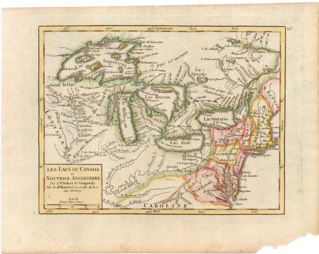
Subject: Eastern Canada & United States - Great Lakes

Period: 1749 (circa)

Publication: Atlas Portatif

Color: Hand Color

Size:
8.5 x 6.5 inches
21.6 x 16.5 cm
Download High Resolution Image
(or just click on image to launch the Zoom viewer)

Superb map of the Great Lakes region illustrating strategic forts and the area claimed by the French just prior to the French and Indian War. This map is based on Bellin's map, Partie Occidentale de la Nouvelle France ou Canada, from 1745, which incorporated much new information from Charlevoix and other French explorers. While this map summarizes the latest in French knowledge of the region, it is also notable for two cartographic myths; the mountain range in Michigan and the appearance of four fictitious islands in Lake Superior, including the infamous I Philippeaux that continued to appear on maps and eluded explorers' searches for it, well into the 19th century. The map locates French forts, new settlements, Indian villages and includes an early appearance of Chicago, Checagou. This is a later edition, with the date erased.

References: Pedley #457; McCorkle, B. (NE) #749.5.

Condition: A

Wide margins with marginal soiling and a chip in bottom right corner, far from map image.

Estimate: $275 - $350

Sold for: $240

Closed on 12/7/2011

Archived