Catalog Archive
Auction 138, Lot 129

"A New Map of Upper & Lower Canada", Stockdale, John

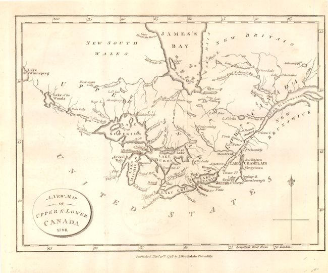
Subject: Canada, Great Lakes

Period: 1798 (dated)

Publication:

Color: Black & White

Size:
9 x 6.8 inches
22.9 x 17.3 cm
Download High Resolution Image
(or just click on image to launch the Zoom viewer)

This small map is centered on the Great Lakes and extends from Lake Winnipeg in the west to the mouth of the St. Lawrence and Anticosti Island in the east. There is nice detail of watersheds, shoreline and the southern portion of James Bay. The map locates a number of important forts including Ft. Chambly and Ft. George.

References: Kershaw #992.

Condition: B+

There is light offsetting and a narrow right margin, else very good.

Estimate: $120 - $180

Sold for: $85

Closed on 12/7/2011

Archived