Catalog Archive
Auction 137, Lot 923

"Second Annual Report of the United States Geological Survey to the Secretary of the Interior 1880-'81", Powell, John Wesley

Subject: Geological Survey

Period: 1884 (published)

Publication:

Color: Printed Color

Size:
8 x 12 inches
20.3 x 30.5 cm
Download High Resolution Image
(or just click on image to launch the Zoom viewer)
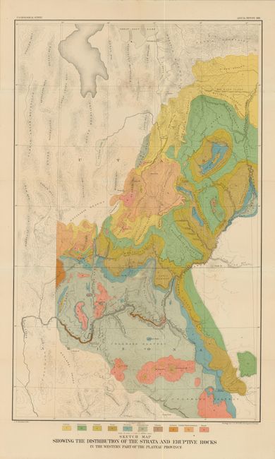
A comprehensive report by the Director of the United States Geological Survey, describing all progress and discoveries made during 1880 and 1881. Includes 56 different illustrative plates and a folding Sketch Map Showing the Distribution of the Strata and Eruptive Rocks in the Western part of the Plateau Province. This map is the first geological map of the Grand Canyon and the Colorado River upstream into central Utah.

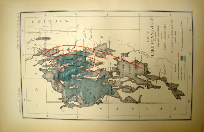
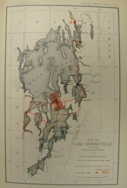
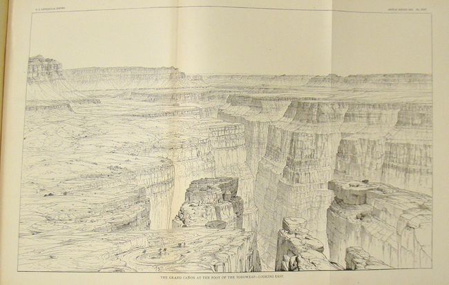
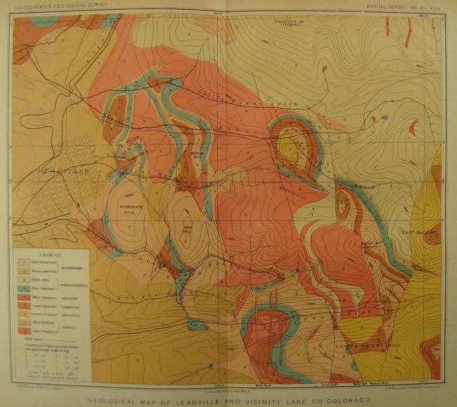
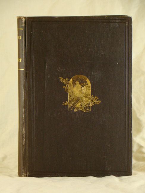
In addition to the illustrations, the report provides the financial statement of the department, the administrative reports and accompanying papers. Included are the following reports: "The Physical Geology of the Grand Canon District" by Capt. Clarence Dutton; "Contributions to the History of Lake Bonneville" by G.K. Gilbert; "Abstract of Report on Geology and Mining Industry of Leadville, Lake County, Colorado" by S.F. Emmons; "A Summary of the Geology of the Comstock Lode and the Washoe District" by George F. Becker; "Production of the Precious Metals in the United States" by Clarence King; "A New Method of Measuring Heights by Means of the Barometer" by G.K. Gilbert. Quarto, 588 pp., hardbound in original brown cloth with embossed cover and spine with gilt lettering.

References:

Condition: B+

Pages, plates and map are mostly clean and bright. The map has a few tiny splits at fold intersections. The binding is somewhat loose and the hinge is starting. Covers show some light wear with bumped edges and a few scuffs.

Estimate: $140 - $180

Sold for: $400

Closed on 9/14/2011

Archived