Catalog Archive
Auction 137, Lot 921

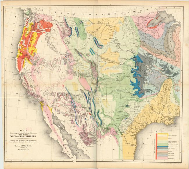
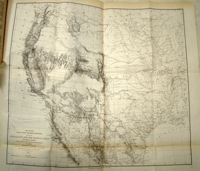
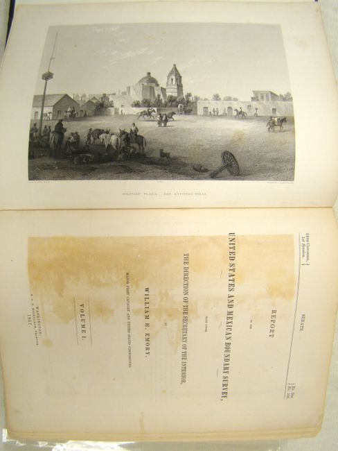
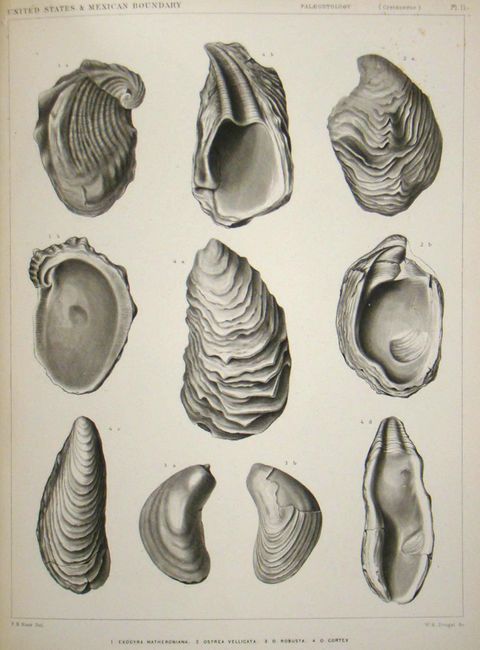
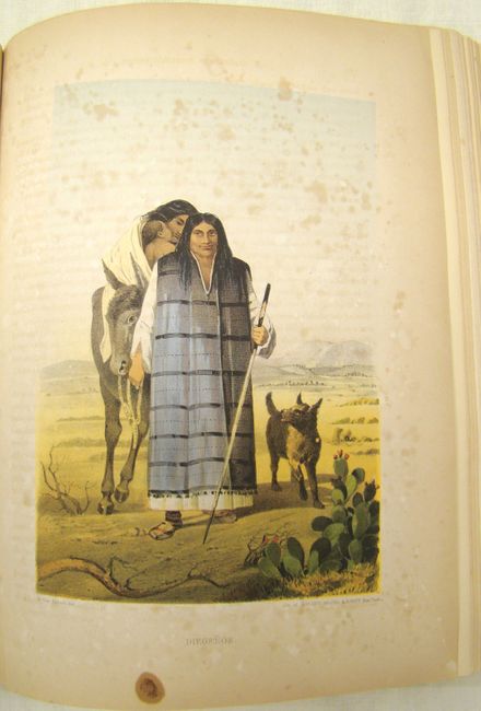
Landmark report on the American Southwest

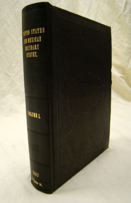
"Report on the United States and Mexican Boundary Survey, Made Under The Direction of the Secretary of the Interior… Volume I", Emory, William Hemsley

Subject: Exploration and Surveys

Period: 1857 (dated)

Publication: Ex. Doc. No. 108, 34th Cong, 1st Sess.

Color: Hand Color

Size:
9.5 x 12 inches
24.1 x 30.5 cm
Download High Resolution Image
(or just click on image to launch the Zoom viewer)

After the Treaty of Guadeloupe, Hidalgo (1848), which ended the war with Mexico, it was necessary to establish a boundary acceptable to both Mexico and the United States. The Mexican Boundary Survey was the result and it provided Americans with the first detailed description of their newly acquired territory. The survey added greatly to an understanding of geography, topography, geology, botany and ethnology.

This is the complete Senate version of Volume 1 which is composed of two parts: Part I (258 pp. with 26 preliminary pages) and Part II (174 pp. with 8 preliminary pages). There are numerous illustrations including 20 woodcuts, 12 chromolithographic plates, 63 steel engraved plates, 3 copper engraved sections and 2 large folding maps. The first map is titled "Map of the United States and their Territories between the Mississippi and the Pacific Ocean and Part of Mexico" (22.5 x 20"). The second map, found in the back cover of only some copies of the Senate version, is titled "Map Illustrating the General Geological features of the Country West of the Mississippi River" (23 x 20") by Hall and Lesley, which shows the western United States from the Mississippi River to the west coast. A table at the lower right provides an explanatory key to the colors used to indicate eleven distinct geological formations.

This report is one of the most sought-after early southwestern Government reports because of its exceptional illustrations as well as geographic and cultural information.

References:

Condition: A

Complete with all maps and plates. The spine has been replaced along with new pastedowns, endpapers and rear pocket. There is some light wear on the original covers, which have been rebacked with new corners. The interior is unmarked and clean except for some light scattered foxing mostly in the blank margins as well as some light offsetting. The map of the western U.S. has a small tear that extends about one inch into the image and two other small tears that are confined to the blank margins. The geological map has a 6-inch tear that has been repaired with archival tape on verso and does not distract.

Estimate: $1,000 - $1,300

Sold for: $1,300

Closed on 9/14/2011

Archived