Catalog Archive
Auction 137, Lot 800

"Carta Geografica dell' Etiopia o Abissinia", Salmon, Thomas

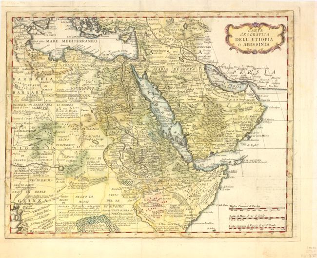
Subject: Northeastern Africa & Arabia

Period: 1760 (circa)

Publication:

Color: Hand Color

Size:
16.5 x 13.2 inches
41.9 x 33.5 cm
Download High Resolution Image
(or just click on image to launch the Zoom viewer)

This map encompasses northeastern Africa and southwestern half of the Middle East, and is filled with place names, tribes, notations and charming depictions of mountains, forests and tented villages. This map provides a look at the geographical knowledge prevalent in the mid-eighteenth century. The source of the Nile is L. di Dambee, and the Niger originates in Lago di Bournou, possibly a reference to today’s Lake Chad.

References:

Condition: B+

Issued folding, now pressed, with three short fold separations at top closed on verso with old paper. There is some staining in map borders that does not distract.

Estimate: $160 - $200

Sold for: $80

Closed on 9/14/2011

Archived