Catalog Archive
Auction 137, Lot 776

"Hindoostan", Thomson, John

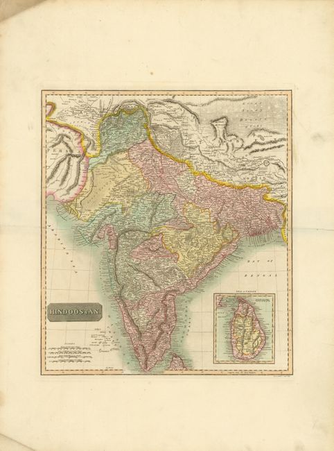
Subject: India and Sri Lanka

Period: 1817 (published)

Publication: A New General Atlas

Color: Hand Color

Size:
15.5 x 17.5 inches
39.4 x 44.5 cm
Download High Resolution Image
(or just click on image to launch the Zoom viewer)

This detailed map of India extends from Pakistan in the west to Nepal, Bangladesh and the southern portion of Tibet in the east. A large inset map features Sri Lanka, the Isle of Ceylon. The towns, rivers and mountains of the region are depicted. Engraved by J. & G. Menzies.

References:

Condition: B+

Original color and wide margins on heavy, watermarked paper, with an unobtrusive stain in upper-right corner. Some marginal soiling and a short centerfold separation at right, far from map image.

Estimate: $100 - $140

Sold for: $90

Closed on 9/14/2011

Archived