Catalog Archive
Auction 137, Lot 773
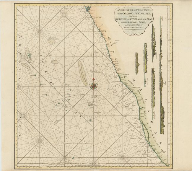
"A Chart of the Coast of India, from Goa to Cape Comorin, Exhibiting the Coasts of Canara and Malabar, with the Lake Divas Islands, and the Channels of Eight and Nine Degrees", Jefferys, Thomas
Subject: India
Period: 1794 (dated)
Publication:
Color: Hand Color
Size:
23.5 x 24 inches
59.7 x 61 cm
Download High Resolution Image
(or just click on image to launch the Zoom viewer)
(or just click on image to launch the Zoom viewer)