Catalog Archive
Auction 137, Lot 710

"Persarum Regni Descriptio", Bucelin, Gabriel

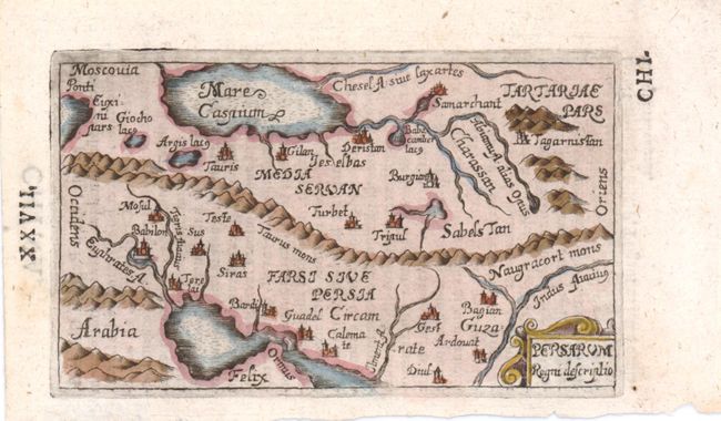
Subject: Persia - Iran

Period: 1658 (published)

Publication: Praecipuarum Universi Terrarum Orbis

Color: Hand Color

Size:
4.3 x 2.8 inches
10.9 x 7.1 cm
Download High Resolution Image
(or just click on image to launch the Zoom viewer)

This tiny map is a scarce derivative of the Ortelius' map of the Persian Empire. It covers from the Caucasus through Chinese Tartary and from Arabia to the Indus River. The Taurus and Naugracort mountains form a ropelike barrier across the map and the major rivers and cites are located. In the first edition of King's book on miniature maps, he attributed Bucelin's maps to Johann Praetorius who was the publisher of Historiae Universalis Auctarium. Latin text on verso.

References: King (2nd ed.) pp. 126-127.

Condition: A

Estimate: $160 - $190

Unsold

Closed on 9/14/2011

Archived