Catalog Archive
Auction 137, Lot 580

"A New Map of the Island of Minorca Drawn From an Actual Survey", Kitchin, Thomas

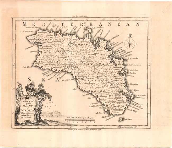
Subject: Minorca, Spain

Period: 1756 (dated)

Publication: London Magazine

Color: Black & White

Size:
8.3 x 6.8 inches
21.1 x 17.3 cm
Download High Resolution Image
(or just click on image to launch the Zoom viewer)

This detailed little map of Minorca, one of the Balearic Islands off the coast of Spain, is filled with towns, roads, rivers and the topography of the island. The decorative title cartouche features a vignette of the castle of St. Philips, which protects the harbor entrance. The British gained control of Minorca in 1708, during the War of the Spanish Succession, and held the island until 1756, when it was captured by the French, during the Seven Years War. This map illustrates the theater of this battle.

References: Jolly LOND-103.

Condition: B+

Issued folding, with light, uneven toning.

Estimate: $160 - $200

Unsold

Closed on 9/14/2011

Archived