Catalog Archive
Auction 137, Lot 560

"Dept. des Bes. du Rhone", Levasseur, Victor
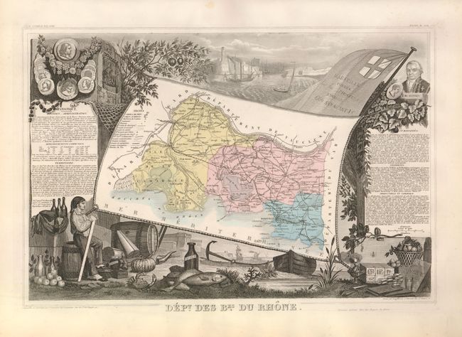
Subject: France

Period: 1869 (published)

Publication: Atlas National Illustre

Color: Hand Color

Size:
17 x 11.8 inches
43.2 x 30 cm
Download High Resolution Image
(or just click on image to launch the Zoom viewer)

Victor Levasseur's "Atlas National Illustre" and "Atlas Universel Illustre" are among the last decorative atlases published. The maps are all lavishly illustrated with scenes of the countryside, products and activities indigenous to the region.

Dept. des Bes. du Rhone. This map depicts Bouches-du-Rhone, named after the mouth of the Rhone River and a department in Provence in the south of France. French text on either side of the map describes the political divisions, topography, important sites, and commerce of the region. Vignettes surrounding the map feature Marseille, the capital of the department and one of the main gateways to France, including portraits of famous natives of the region, a view of the city, and the coat of arms of the city. Below the map is a vignette of the produce of the region, highlighting the fishing industry and production of olive oil.

References:

Condition: A

Original color, as issued, with minor toning in the margins. Binding holes in far upper blank margin.

Estimate: $100 - $130

Unsold

Closed on 9/14/2011

Archived