Catalog Archive
Auction 137, Lot 546

"Carta Generale de' Paesi Bassi Terzo Foglio", Cassini, Giovanni Maria

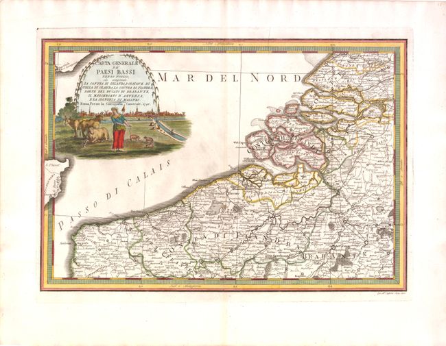
Subject: Low Countries

Period: 1795 (dated)

Publication: Nuovo Atlante Geografico Universale

Color: Hand Color

Size:
18.8 x 13 inches
47.8 x 33 cm
Download High Resolution Image
(or just click on image to launch the Zoom viewer)

This is one sheet of a six sheet map on the Low Countries, each with its own decorative cartouche and separate borders. This map encompasses the northwestern portion of Belgium and the southern half of the Netherlands, including Brussels and Rotterdam. The map also touches on the northern tip of France and the eastern tip of Britain. Extensive detail of towns, roads, boundaries, rivers and forests is given. The map features a decorative title cartouche with a woman tending to her cows and sheep with a city view of Brussels in the background.

References:

Condition: A

A strong impression on watermarked paper with wide margins and light toning along centerfold.

Estimate: $190 - $230

Unsold

Closed on 9/14/2011

Archived