Catalog Archive
Auction 137, Lot 426

"West Indies from the Best Authorities", Morse, Jedidiah (Rev.)

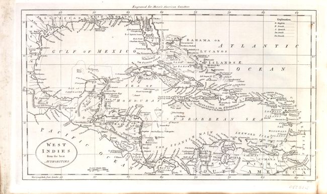
Subject: Gulf of Mexico and Caribbean

Period: 1797 (circa)

Publication: Morse's American Gazetteer

Color: Black & White

Size:
12.5 x 7.3 inches
31.8 x 18.5 cm
Download High Resolution Image
(or just click on image to launch the Zoom viewer)

Map of the West Indies, engraved by Samuel Hill. At this time Florida was divided into East and West Florida. East Florida is shown having two mountain ranges. The map also shows part of Mexico plus the Central American countries and parts of South America. There is a table at the upper right showing the codes used to demonstrate the European possessions in the islands.

References: Wheat & Brun 699.

Condition: A

Nice clean image. Right margin has been reinforced and there is some light toning and staining in the blank margins.

Estimate: $150 - $180

Sold for: $110

Closed on 9/14/2011

Archived