Catalog Archive
Auction 137, Lot 422

"A Map of the Middle Part of America", Dampier, William (Capt.)

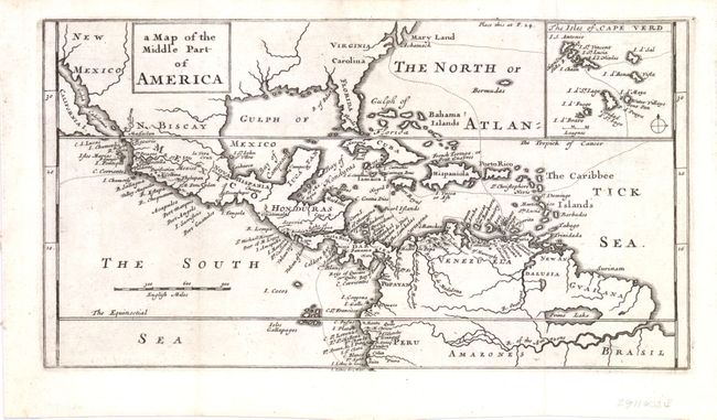
Subject: Gulf of Mexico and Caribbean

Period: 1705 (circa)

Publication: A New Voyage Round the World

Color: Black & White

Size:
11.3 x 6 inches
28.7 x 15.2 cm
Download High Resolution Image
(or just click on image to launch the Zoom viewer)

This chart shows part of the route of William Dampier's first circumnavigation voyage in the 1680s with his passage across the isthmus of Panama. The map covers the area of northern South America through Central America into what is now the southern United States with Maryland, Virginia, Carolina, Florida, and New Mexico named. There is an inset map detailing the Cape Verde islands with the route of exploration delineated. On the map, California is an island although only the southern portion is shown. Not noted in McLaughlin.

References:

Condition: A

Strong dark impression.

Estimate: $240 - $300

Sold for: $180

Closed on 9/14/2011

Archived