Catalog Archive
Auction 137, Lot 390

"Virginia", Thomas and Andrews
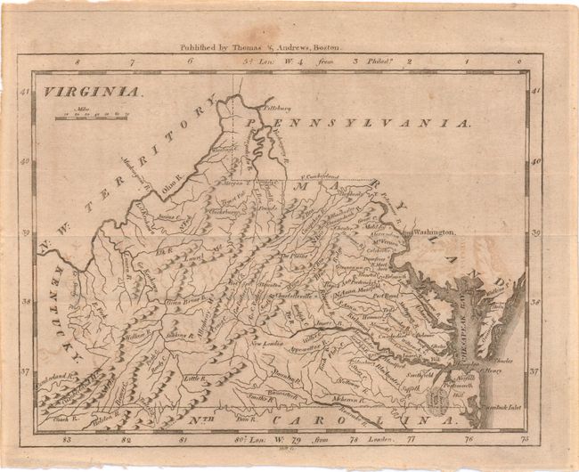
Subject: Virginia

Period: 1796 (circa)

Publication: Morse's Universal Geography

Color: Black & White

Size:
7.5 x 5.8 inches
19.1 x 14.7 cm
Download High Resolution Image
(or just click on image to launch the Zoom viewer)

This map shows excellent detail of the various rivers and watershed. The map is nearly identical to the maps of Barker and Scott, but here the western boundary is not shown on either the East or West fork of the Big Sandy river. Ononcock is labeled Onaucook, again a similarity to the Barker and Scott maps. To the northwest is N.W. Territory. Published by Thomas & Andrews, Boston.

References:

Condition: B+

Even toning with some light offsetting and a tiny stain in the upper margin, just extending into the image.

Estimate: $190 - $220

Sold for: $140

Closed on 9/14/2011

Archived