Catalog Archive
Auction 137, Lot 389

"Alkali Map [Utah Bear River Sheet]",
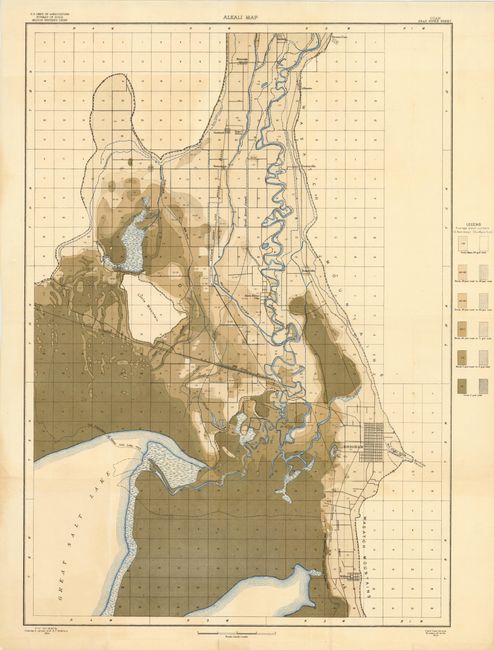
Subject: Utah

Period: 1904 (dated)

Publication:

Color: Printed Color

Size:
22 x 31.5 inches
55.9 x 80 cm
Download High Resolution Image
(or just click on image to launch the Zoom viewer)

This is a large-scale map of a portion of Utah near the Great Salt Lake (Bear River Sheet). The alkali content of the soil is shown by color code for six levels of concentration. The rivers and streams are colored blue. Brigham City is near the center right of the map. The Southern Pacific Railroad passes from the middle of the left side of the map southeast to Brigham City. Promontory, Utah, where the "Golden Spike" was set at the junction of the Southern Pacific and Union Pacific Railroads in 1869 is just off the map at the left. The Great Salt Lake takes up the lower left of the map. The shoreline of 1868 is shown with the lake occupying considerably more area at that time. Published by the U.S. Department of Agriculture.

References:

Condition: B+

There are short tears at two fold intersections, else very good. Issued folding.

Estimate: $90 - $120

Unsold

Closed on 9/14/2011

Archived