Catalog Archive
Auction 137, Lot 388

"Map of the State of Utah", General Land Office
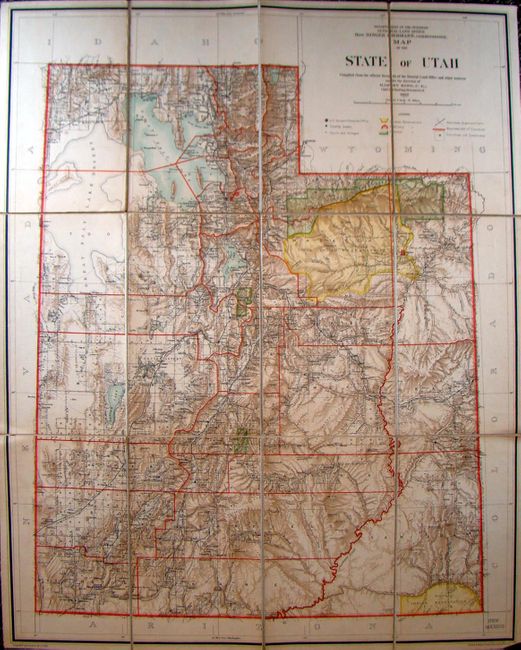
Subject: Utah

Period: 1902 (dated)

Publication:

Color: Printed Color

Size:
27 x 34 inches
68.6 x 86.4 cm
Download High Resolution Image
(or just click on image to launch the Zoom viewer)

Large and scarce edition of this colorful General Land Office map, compiled under the direction of Harry King, Chief of Drafting Division, G.L.O. The map shows the extent of the public surveys, Navajo and Uinta [sic] Indian Reservations, Military Reservations, forests, railroads, roads, trails, county seats and towns. An area called Buena Vista appears next to Vernal, an unusual place name we've not seen before and for which we find no information. Compiled and drawn by J. Ulke and printed by the Photo-Litho company of Andrew B. Graham. Dissected into 12 sections and linen backed.

References:

Condition: A

Very clean and bright example.

Estimate: $200 - $250

Sold for: $150

Closed on 9/14/2011

Archived