Catalog Archive
Auction 137, Lot 351

"Plan von New-York", Meyer, Joseph

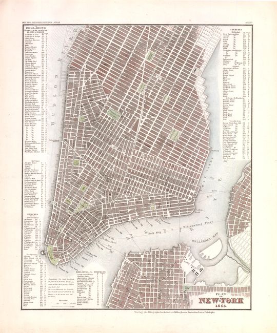
Subject: New York City

Period: 1853 (dated)

Publication: Hand Atlas

Color: Hand Color

Size:
11.6 x 14.3 inches
29.5 x 36.3 cm
Download High Resolution Image
(or just click on image to launch the Zoom viewer)

This finely engraved map of New York City is based on Tanner's map of the city from the late 1830s. The map extends to include parts of Brooklyn and Williamsburg. Extensive tables at sides list public buildings, squares, markets, hotels, and churches. There is excellent detail throughout with all streets named and many port features identified.

References:

Condition: A

The map has a crisp impression and full margins. Remnants of hinge tape on verso.

Estimate: $220 - $275

Sold for: $180

Closed on 9/14/2011

Archived