Catalog Archive
Auction 137, Lot 337

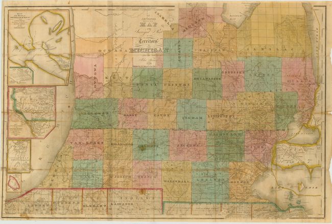
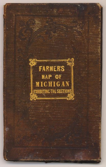
"An Improved Edition of a Map of the Surveyed Part of the Territory of Michigan", Farmer, John

Subject: Michigan

Period: 1836 (dated)

Publication:

Color: Hand Color

Size:
31 x 21 inches
78.7 x 53.3 cm
Download High Resolution Image
(or just click on image to launch the Zoom viewer)

This is a rare early map of Michigan shortly before it was admitted to the Union in 1837. It shows Michigan from Lake Erie and Upper Canada west to Lake Michigan. The counties have been surveyed south and west from the Maple River and North to Saginaw Bay. Included are inset maps of "Map of the Straits of Michillimackinac from Actual Survey", "Map of the most important part of the lead mine district near the Mississippi River", "Map of the Private Claims at Green Bay", and "Map of Michillimackinac Isle, Scale 2 miles to an inch." Published by J.H. Colton & Co., New York. Folds into brown boards with gilt lettering.

References: Karpinski #129.

Condition: B

The map shows some light offsetting with a few small stains in the image. Small fold separations and splits have been repaired with archival material on verso. The map is issued folded and is separated from the covers.

Estimate: $1,600 - $1,900

Sold for: $1,500

Closed on 9/14/2011

Archived