Catalog Archive
Auction 137, Lot 238

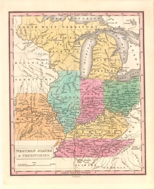
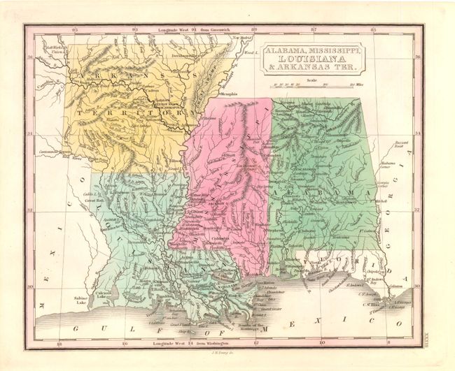
"[Lot of 2] Western States & Territories [and] Alabama, Mississippi, Louisiana & Arkansas Ter.", Grigg, John

Subject: Central and Southern United States

Period: 1830 (published)

Publication: American School Atlas

Color: Hand Color

Size:
9.8 x 8 inches
24.9 x 20.3 cm
Download High Resolution Image
(or just click on image to launch the Zoom viewer)

Two fine examples of these scarce, detailed maps engraved by J.H. Young for John Grigg's "American School Atlas" published in Philadelphia in 1830. These two maps cover the central portion of the US from the Great Lakes to the Gulf of Mexico. In the northern map, a large "North West Territory Attached to Michigan" is found between Lake Michigan and the Mississippi River. The southern map displays the extended version of Arkansas Territory. Fort Smith, a border town today, is located 40 miles to the east of the western border.

References:

Condition: A+

Strong impression and beautiful original color.

Estimate: $240 - $300

Sold for: $190

Closed on 9/14/2011

Archived