Catalog Archive
Auction 137, Lot 236

"Carte de la Louisiane et Pays Voisins pour servir a l'Histoire des Etablissemens Europeens", Bellin, Jacques Nicolas

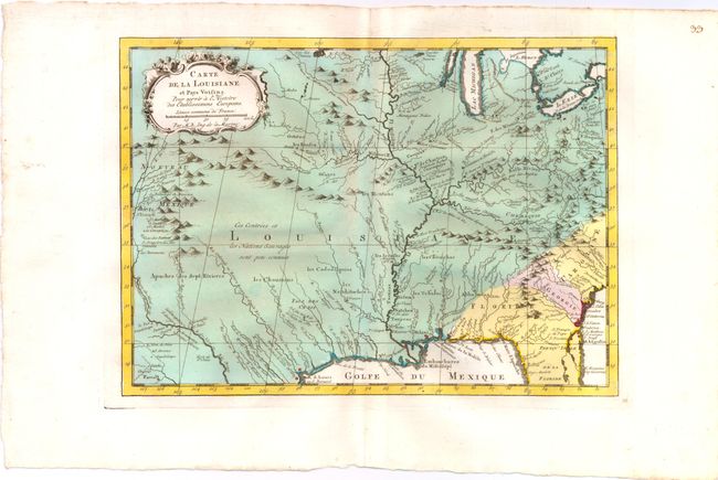
Subject: Colonial Central United States

Period: 1780 (circa)

Publication: Raynal's Atlas Portatiff

Color: Hand Color

Size:
11.5 x 8.5 inches
29.2 x 21.6 cm
Download High Resolution Image
(or just click on image to launch the Zoom viewer)

Superb small map based on Delisle's map of Mississippi and Louisiana. This finely engraved and detailed map of French Louisiana extends from the Great Lakes to the Gulf of Mexico and from Nouveau Mexique to Florida (not showing the tip of Florida). Many Indian place names, forts (including French) and early European settlements are shown. Nouveau Mexique in the far west includes Santa Fe and names the S. Jerome de Taos. The decorative title cartouche includes the distance scale.

References: cf Sellers & Van Ee #18.

Condition: A

Strong original color and wide margins.

Estimate: $275 - $350

Sold for: $210

Closed on 9/14/2011

Archived