Catalog Archive
Auction 137, Lot 234

"Georgia from the Latest Authorities", Payne, John

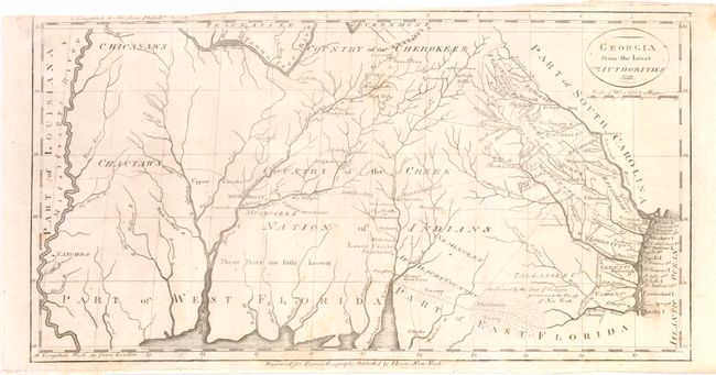
Subject: Southern United States - Georgia

Period: 1799 (dated)

Publication: New and Complete Universal Geography

Color: Black & White

Size:
15 x 8 inches
38.1 x 20.3 cm
Download High Resolution Image
(or just click on image to launch the Zoom viewer)

This is a scarce map covering from the Atlantic seaboard to the Mississippi River, present-day Georgia, Alabama and Mississippi. There is good topographical information, particularly for the eastern section near the coast. Early counties in Georgia are named and their boundaries given. The interior is labeled Country of the Creek Nation of Indians with several other tribes located and the notation "These parts are little known." Several trading paths to the interior are shown. This is a re-engraving of based upon earlier maps by Tanner in 1796 and Carey in 1795.

References: Wheat & Brun #619.

Condition: B+

Nice bright impression with some minor creasing and a few tiny stains, else very good. Issued folded.

Estimate: $700 - $850

Sold for: $500

Closed on 9/14/2011

Archived