Catalog Archive
Auction 137, Lot 198

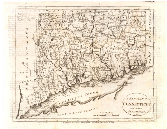
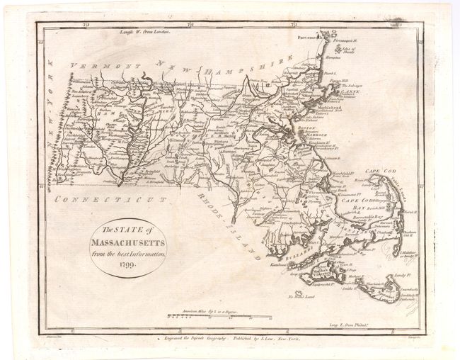
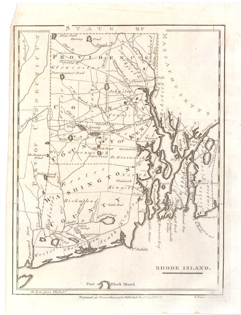
"[Lot of 3] A New Map of Connecticut from the Best Authorities [and] The State of Massachusetts from the Best Information [and] Rhode Island", Payne, John

Subject: New England - Connecticut, Massachusetts & Rhode Island

Period: 1799 (dated)

Publication: A New and Complete Univeral Geography

Color: Black & White

Size:
9.3 x 7.5 inches
23.6 x 19.1 cm
Download High Resolution Image
(or just click on image to launch the Zoom viewer)

Three detailed maps covering Connecticut, Massachusetts and Rhode Island from Payne's Geography, published by John Low. Each map displays roads, county names and boundaries with good detail of mountains and watershed. The Massachusetts map shows Provincetown on an island and Norfolk County isn't shown at all. The Connecticut map is based upon Tanner's earlier map, which includes the Byram river being too far along the southwestern border.

References: Wheat & Brun #222, #255, #292.

Condition: B+

Nice bright impressions. There is some light text transfer and very faint offsetting, else very good. Issued folded and now flat.

Estimate: $400 - $475

Unsold

Closed on 9/14/2011

Archived