Catalog Archive
Auction 137, Lot 171

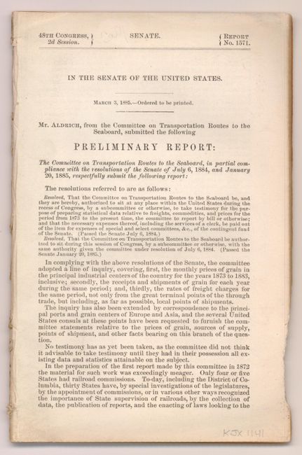
"New Official Railroad Map of the United States and Canada", Rand McNally & Co.
Subject: United States

Period: 1885 (dated)

Publication: 48th Congress, 2nd Session. Senate. Report No. 1571

Color: Printed Color

Size:
6 x 9 inches
15.2 x 22.9 cm
Download High Resolution Image
(or just click on image to launch the Zoom viewer)

Very large, colorful map with terrific railroad detail along with wagon roads, watershed, cities and towns. Insets include "Map of Atlantic Coast States Engraved on a Large Scale," plus individual city plans of Boston, Cincinnati, New York, Philadelphia, St. Louis, Chicago, Buffalo & Niagara Falls and Washington. The map is bound to a 43 pp. Senate report on transportation routes to the seaboard.

References:

Condition: A

Excellent condition with a tiny fold separation that just passes the neat line. Report is disbound.

Estimate: $160 - $220

Sold for: $90

Closed on 9/14/2011

Archived