Catalog Archive
Auction 137, Lot 162

"The United States, of North America. (General Map.)", Blackie, W. G. & Son

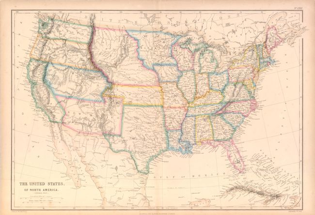
Subject: United States

Period: 1854 (circa)

Publication:

Color: Hand Color

Size:
19.7 x 13.6 inches
50 x 34.5 cm
Download High Resolution Image
(or just click on image to launch the Zoom viewer)

Very precisely engraved map with remarkable territorial boundaries. A large Texas includes today's Oklahoma. Oregon and Washington extend to the Continental Divide. Utah includes present-day Nevada and much of Colorado. New Mexico Territory includes Arizona, the Las Vegas area and a portion of southern Colorado. A huge Nebraska Territory fills the region between the Rocky Mountains and an enlarged Minnesota. Kansas extends to the eastern boundary of Utah. This interesting map is filled with place names, forts, watershed and topographical information. The map was engraved by J.W. Lowry and published by Blackie & Son.

References:

Condition: A

Original outline color, lightly toned along centerfold and in blank margins.

Estimate: $220 - $275

Sold for: $160

Closed on 9/14/2011

Archived