Catalog Archive
Auction 137, Lot 108

"L'Amerique Septentrionale", Croix, F. de la

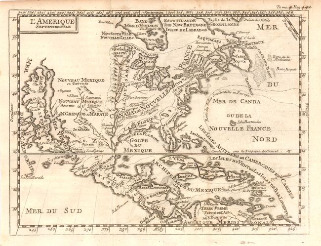
Subject: North America

Period: 1702 (published)

Publication: Geographie Universelle

Color: Black & White

Size:
7.3 x 5.5 inches
18.5 x 14 cm
Download High Resolution Image
(or just click on image to launch the Zoom viewer)

This is a charming small map that shows the island of California with an indented coastline. It includes numerous place names including Estiete, C. Blanco, P. de Carinde, Canal de S. Barbe, S. Martin, I. de S. Mare, S. Francisco, S. Simon, and an island named La Rocca Partida. The Rio Bravo ou de Nord (Rio Grande) joins the prominent Mississippi River just before emptying into the Gulf of Mexico, much too far west. Good depiction of the important fishing banks offshore from the Maritime Provinces. This is the fourth, 1702 edition with longitude line 325° passing between the "O" and "R" of NORD in the Atlantic.

References: Burden #735.

Condition: B+

A small area of very light foxing otherwise a near fine example.

Estimate: $300 - $400

Sold for: $220

Closed on 9/14/2011

Archived