Catalog Archive
Auction 136, Lot 765
"Plan de l'Ile Tonga-Tabou Leve et dresse par M.E. Paris, Enseigne de Vaisseau. Expedition de la Corvette de S.M. l'Astrolabe", Dumont d'Urville, Jules Sebasian Cesar
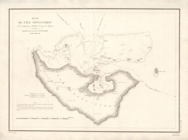
Subject: Pacific Islands, Tonga
Period: 1835 (circa)
Publication:
Color: Black & White
Size:
23 x 16.7 inches
58.4 x 42.4 cm
Download High Resolution Image
(or just click on image to launch the Zoom viewer)
(or just click on image to launch the Zoom viewer)