Catalog Archive
Auction 136, Lot 709

"Carte De Grand Archipel d'Asie", Brue, Adrien Hubert

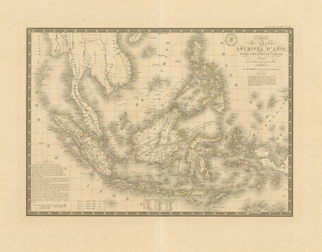
Subject: East Indies - Indonesia

Period: 1834 (dated)

Publication: Atlas Universel

Color: Hand Color

Size:
20.5 x 14.5 inches
52.1 x 36.8 cm
Download High Resolution Image
(or just click on image to launch the Zoom viewer)

Beautifully engraved and attractive map that shows the entire Indonesian archipelago plus the Philippines, all of the Malay peninsula with part of Indochina. Also delineates the western portion of Papal New Guinea. Superb detail of the many islands including Sumatra, Borneo, Flores, Timor, the Celebes, etc. The nascent settlement of Singapore is named. A color key shows the colonial holdings of Holland, Spain, and Portugal as well as lands held by indigenous royals. By the time this map was published the British had abandoned their holdings in Sumatra and Java under the 1824 Anglo-Dutch Treaty, in exchange for control of their possessions in the Malay Peninsula and Dutch India. This is the updated 1834 map from the 1826 edition. With Brue's embossed seal and a decorative keyboard-style border.

References:

Condition: A

Very lovely example with just a trace of light offsetting. Otherwise a fine example with original outline color and wide, untrimmed margins.

Estimate: $200 - $300

Sold for: $150

Closed on 6/1/2011

Archived