Catalog Archive
Auction 136, Lot 678
"Asien", Kiepert, Heinrich C.
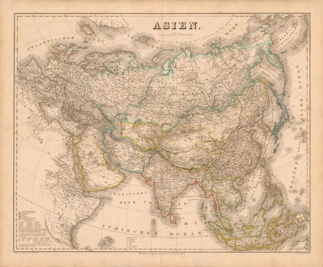
Subject: Asia
Period: 1854 (dated)
Publication:
Color: Hand Color
Size:
25.2 x 20.2 inches
64 x 51.3 cm
Download High Resolution Image
(or just click on image to launch the Zoom viewer)
(or just click on image to launch the Zoom viewer)