Catalog Archive
Auction 136, Lot 591

"Royaume de Hongrie, Principaute de Transilvanie, Sclavonie, Croatie, et partie de la Principaute de Valaquie, de la Bulgarie &c.", Robert de Vaugondy/Santini

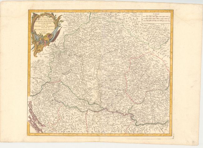
Subject: Southeastern Europe

Period: 1784 (circa)

Publication: Atlas Universel

Color: Hand Color

Size:
21.4 x 18.6 inches
54.4 x 47.2 cm
Download High Resolution Image
(or just click on image to launch the Zoom viewer)

This is an Italian edition of Robert de Vaugondy's detailed map covering primarily Hungary and Romania with parts of Croatia, Bosnia, Serbia and Bulgaria. Scores of towns and villages are located with good topographical detail as well. The Chemin de l'Empereur Trajan, Emperor Trajan's route along the Danube, is shown in Romania and Fort Romain is just east of Belgrade. The title cartouche is decorated with implements of war. Published by Remondini.

References: cf Pedley #288.

Condition: A

There is a faint damp stain in the upper corners of the very wide original margins.

Estimate: $250 - $325

Sold for: $150

Closed on 6/1/2011

Archived