Catalog Archive
Auction 136, Lot 487

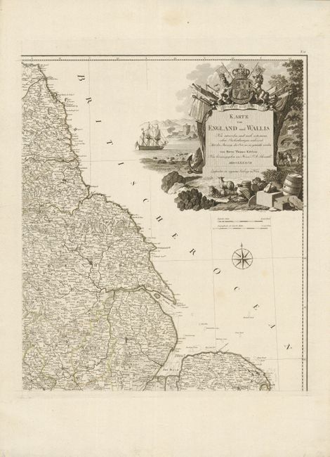
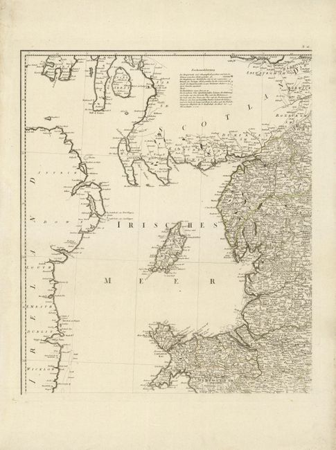
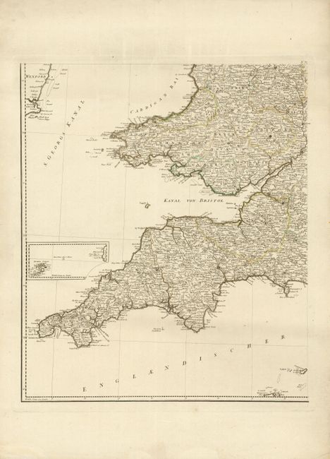
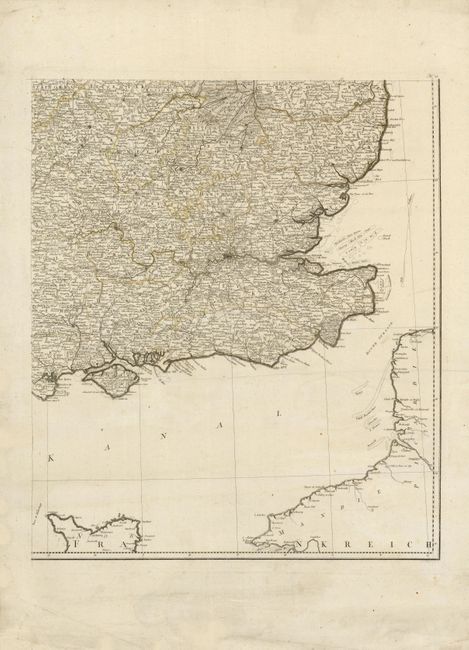
"Karte von England und Wallis ... von Herrn Thomas Kitchin…", Schraembl, Franz Anton

Subject: England & Wales

Period: 1787 (dated)

Publication:

Color: Hand Color

Size:
42.3 x 49.7 inches
107.4 x 126.2 cm
Download High Resolution Image
(or just click on image to launch the Zoom viewer)

This wall map consists of four sheets, unjoined, depicting England and Wales in great detail, and is a revised German version of Kitchin's map from 1777. The large decorative, title cartouche bears the form of a monument surrounded by a vignette by F. Muller after C. Schutz. The monument is topped by Britain's Royal Coat of Arms, and surrounded by symbols of British trade, commerce and military strength. The map shows towns, roads, political boundaries and topography, and includes a legend to the symbols depicted on the map. The map also features an inset map of the Isles of Scilly, a compass rose and distance scales in English and German miles.

References: Phillips (A) 694-20

Condition: B+

Original outline color, slightly faded, and wide margins. NE quadrant: Tiny pen mark and a few faint stains. SE quadrant: A few small, faint stains.

Estimate: $400 - $475

Unsold

Closed on 6/1/2011

Archived