Catalog Archive
Auction 136, Lot 45

"Carte des Deux Regions Polaires…", Buffon, Comte de

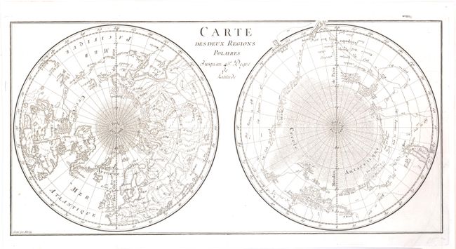
Subject: World - Polar

Period: 1780 (circa)

Publication: Histoire Naturelle Generale et Particuliere

Color: Black & White

Size:
17.8 x 8.8 inches
45.2 x 22.4 cm
Download High Resolution Image
(or just click on image to launch the Zoom viewer)

Interesting map of the poles that shows numerous tracks of explorers, including Tasman, Furneaux, Halley, Marion and the 1773 expedition of Cook. There is an unusual and utterly spurious Northwest Passage shown from Hudson Bay via Wager Inlet into a Grand Eau des Sauvages down into L. de Fonte and thus to the Pacific. There are many ice floes or icebergs depicted in both poles. Engraved by Aldring.

References:

Condition: A

Near fine with nice impression on clean and bright paper. Very faint offsetting in image.

Estimate: $200 - $300

Sold for: $150

Closed on 6/1/2011

Archived